
The Nagavali River and Srikakulam: A River That Carries a Region’s Story
A look at the history, landscape and living culture of one of Andhra Pradesh’s most beautiful rivers.
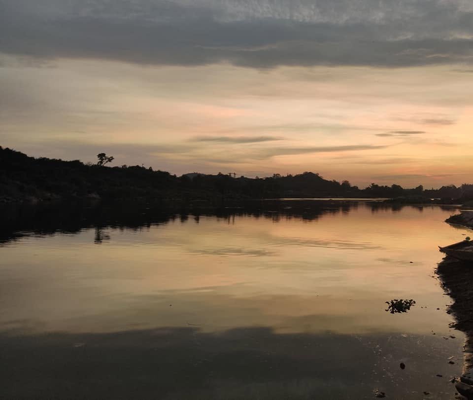
If you stand on the banks of the Nagavali at Srikakulam in the evening, you will understand why people here speak of the river with such affection. The sky turns gold, the wide sandy bed catches the light, and fishermen and farmers head home along the water. But behind that calm view lies a history that stretches back more than a thousand years.
A river with a serpent’s name
The Nagavali, known as the Langulya in Odisha, begins its journey high in the Eastern Ghats in the Kalahandi region of Odisha. From there it flows southeast for roughly 250 km, crossing into Andhra Pradesh and passing through the Vizianagaram and Srikakulam districts before it finally meets the Bay of Bengal near Kalingapatnam.
The name is commonly linked to the word for a serpent, a nod to the way the river winds through the land. Along the way it is fed by tributaries such as the Jhanjavati, Barha, Suvarnamukhi and Vegavathi, which swell it during the monsoon.
The heart of ancient Kalinga
The Nagavali basin was part of the ancient Kalinga region, a name that echoes through Indian history. Mukhalingam (Srimukhalingam), in the plains between the Vamsadhara and Nagavali rivers, is traditionally identified with Kalinganagara, the capital of the Eastern Ganga dynasty from around the 5th century CE.
The temples there, including the Madhukeswara temple, were built over many centuries and are among the finest surviving examples of the region’s early temple architecture. Many historians also place the wider Kalinga country at the centre of Emperor Ashoka’s famous war, although the exact location of the battle is still debated.
From the Gajapatis to the British
After the Eastern Gangas, the region passed to the Gajapati rulers of Odisha and later to the Qutb Shahis of Golconda. Under the Muslim faujdars, Srikakulam became an important administrative and military centre, and the old colonial name “Chicacole” comes from this period.
The region later came under the French and then the British, becoming part of the Northern Circars and eventually the Madras Presidency. At the river’s mouth, Kalingapatnam served as an old port, linking the area to sea trade for centuries.
The river that feeds the land
For generations the Nagavali has been the lifeline of the coastal plain. Its water supports paddy fields and other crops, and the silt it deposits keeps the land fertile. Irrigation works were built along the river during British rule, including the Narayanapuram anicut, and after independence projects such as the Thotapalli Barrage expanded the area under irrigation.
The river also has a moody side. Because it begins in the hills and then crosses flat land, it can flood in the monsoon and shrink dramatically in summer, a rhythm that local communities have learned to live with.
The Nagavali today
Today, Srikakulam town sits on the river’s banks, and the Nagavali remains central to local farming, drinking water and everyday life. The bridges across it, the wide sandy riverbed and the sunsets over the water have become favourite spots for photographers, drone videographers and families looking for a quiet evening.
Why it deserves your attention
Rivers like the Nagavali rarely make national headlines, yet they hold the memory of entire regions: dynasties, temples, ports, harvests and festivals. Next time you are in Srikakulam, take a walk along the river at sunrise or sunset. You will be standing in a landscape that has watched Kalinga’s history unfold.
A note on accuracy: this post is written from general knowledge. Dates, lengths and details of dams and barrages should be checked against local or official sources before you rely on them.